There I was... boat all packed and ready to go on the beach in Bar Harbor. The students I’d guided all week were busy shuttling gear away from the beach, arranging big piles of drybags. I said quick goodbyes and slipped away, heading south. We'd come eight miles from Thomas Island on the north side of Mount Desert Island. Now I paddled toward a private MITA island just off of Great Cranberry, about twelve miles around the southeast side of Mount Desert Island.
Gliding past the Bar Harbor waterfront, I felt cut-loose, a
little strange to be paddling alone; I could paddle any speed I wanted and not look back. Just past the breakwater at Bald
Porcupine, I pulled into Compass Harbor and took a break on Dorr Point. Site of the former home of "Father of Acadia" George Dorr, the point is now part of the National Park and is a good spot for a breather before the next stretch, in which easy landings are scarce.

The coastline from Compass Cove to the southern end of MDI is a playground of rocks and ledges stretching five miles past sheer cliffs, undercut sea caves and towering rocky slots. Alone in my loaded boat with miles to go, I paddled conservatively, occasionally nosing into a slot or a cobble-beached cave... the sort of paddling that elicits constant wonderment, but also the sense that I haven't spent nearly enough time here and would need to return for more. I passed only two kayaks- a tandem and a single paddled by shirtless guys and a woman in a bathing suit- no life jackets- who appeared well out of their element in the minor swell. Just north of Schooner Head the private homes give way to the wild shoreline of Acadia National Park, and the people on shore begin; walking the trails, hanging-out on rocks (some literally hanging from ropes). After Schooner Head, Labor Day weekend visitors dotted Sand Beach and the stretch of granite shoreline from there to Otter Point. Happy to be alone, I stayed just far enough from shore to inhibit attempts at conversation.

Just west of Otter Cove, I pulled into a slot and landed on a cobble beach for a quick break before heading across to Little Cranberry Island. At the edge of the harbor I waited as several boats arrived, some driven by captains in blue blazers and khakis- arriving for the Islesford Dock restaurant's last night of the season. A little more paddling brought me to my campsite for the night.

A couple of other tents were set-up in the grass, but their occupants were absent. I carried my boat up past the tide line and set-up on a rocky ledge, eating my dinner as the sun went down and the full moon came up. A pair of kayaks appeared in silhouette, arriving from Little Cranberry. I met the paddlers later and we talked for awhile as it grew dark and the moon rose. They had come here on a whim, one from Portland, the other from Bath. They'd eaten dinner at the Islesford Dock restaurant, and planned on a leisurely Sunday. Again, headlights of cars snaked up the dark profile of Cadillac Mountain. With the fly off my tent, I slept in the moonlight, the barking of distant seals mingling with my dreams. Still in my sleeping bag, I watched the sun rise.

I had about twenty miles of paddling between me and Stonington, but I lingered over breakfast, enjoying the view of clouds easing through the hills on MDI. The sunshine lasted for a couple of hours, fading as I passed Great Gott Island and the Bass Harbor Head lighthouse. By the time I took a break on Placentia, a breeze picked-up, accompanied by intermittent rain.

Just before mid-day, I left the northwest corner of Placentia and pointed toward North Point on Swans Island. Despite the tide being nearly high and slack, the incoming current swirled back on itself as it squeezed into the mile-wide gap between the two islands, making distinct eddy lines. I hadn't noticed the "tide rips" indicated on the chart north of Staple Ledge before, but it looks like another place to investigate sometime at mid-tide and see what's happening out there. I passed the mouth of Mackerel Cove, and through York Narrows, stopping at a couple of small islands, just to check them out and have a sip of coffee before crossing Jericho Bay.
I wanted to get across Jericho Bay before the mid-tide current picked-up too much, so I pointed toward Scraggy Island and Eastern Mark Island behind it, and started across.
After all the guiding and teaching I'd been doing over the summer, this respite of solo paddling felt good. Over the last week, I'd heard fairly constant banter as I paddled- rarely a quiet moment, my rhythm determined by those around me, paddling in fits and starts, my blade often moving through the water with minimal effort so that I would not pull ahead. It seems that if you paddle this way enough, your own groove will fade into the past, perhaps permanently. As I paddled home, I found songs popping into my head once again, and I went long stretches without pause. Weather and waves came and went without comment or discussion.

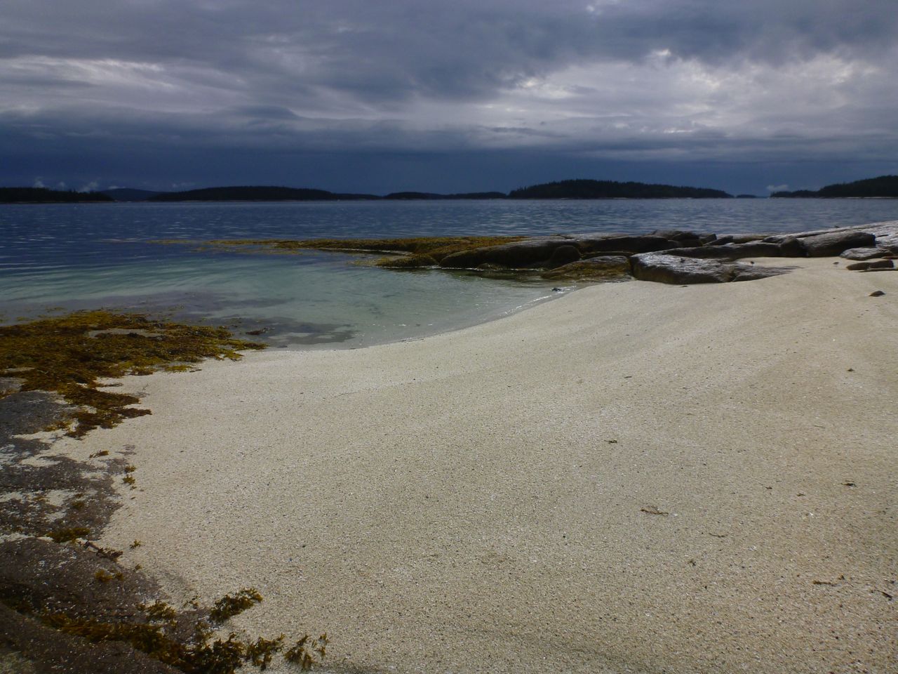
Passing Eastern Mark Island, I re-entered my home archipelago. The rain tapered away and the dark clouds passed behind me. The sun came out, and even though I looked forward to getting home, to a long soak in a tub of hot water, I wanted to savor the trip just a little longer. I pulled off at Clam Island- a ledge north of Millet. Beyond Isle au Haut the sky remained stormy and dark. I ate the last of my trail mix and finished-off the peanut butter and jelly; it would taste better now- as I sat on a rock that had been submerged a short time before- than it ever would at home.