We floated in our kayaks below the bluffs of Jims Head. Beyond the harbor entrance, a jagged horizon of rough water undulated offshore. We hoped that it marked the edge of a massive eddy that would diminish as we made our way along Boot Head and the tidal current slackened, affording us the least-bumpy passage around the head.
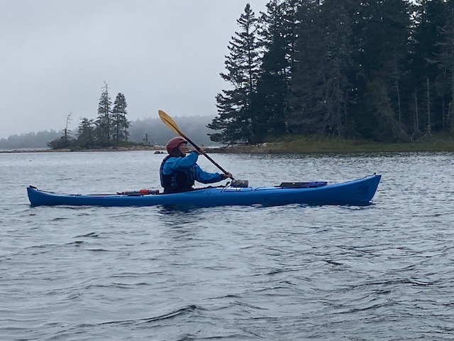
It was a brilliant, clear day, and Jims Head rose steeply from the sea upon tall fins of dark, flaky rock. There were six of us. Most had been on a Downeast multi-day trip I’d guided at the end of August, and we were continuing from the spot where we’d had to cut the trip short. There’d been some bad weather coming, and we’d made a hard choice, but we’d made plans to return the next time we all had a day – in October, and here we were.

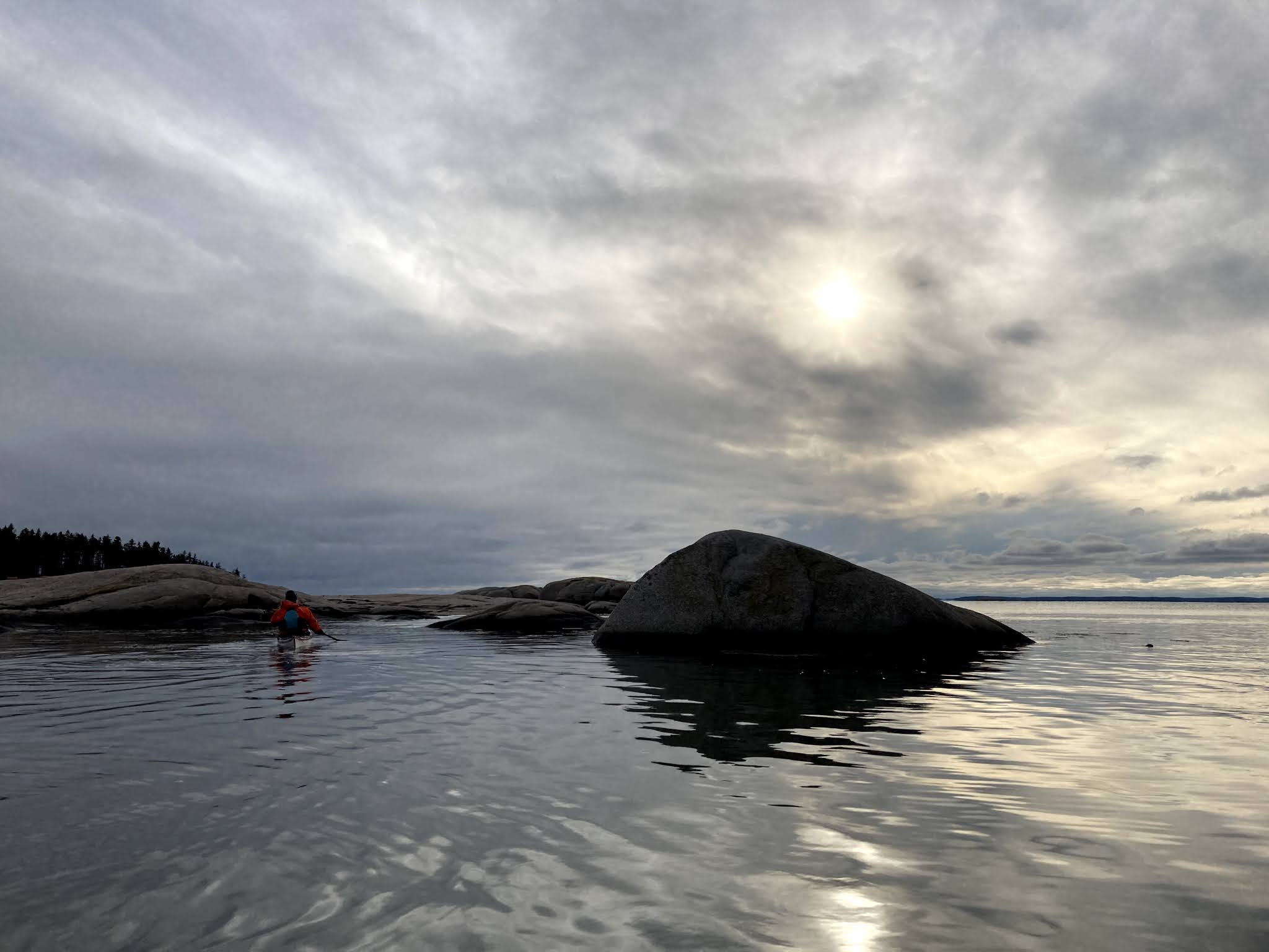
We followed the shore out toward Boot Head, and though the conditions were docile, they were perfect for some mellow play along this shore. We looked for small challenges – slots to back into, rocks to get buoyed over by waves. The challenges grew progressively as we made our way along the shore. Finally, we took turns paddling into the tallest, darkest chasm on Boot Head. You back in so you’ll see the waves coming your way, and it makes it easier to paddle out quickly if the need arises. You go one at a time, alone, and as you venture backward, alternating your over-the-shoulder view of your destination with that of the bright entrance beyond your bow, your companions become distant silhouettes, occasionally eclipsed by a wave rising between you, You’re dwarfed by the soaring walls. You look up and see the crack of light above, the blue sky outlined by spruce. The walls are damp, mossy, echoing each time a wave thunks into the rocks behind you.

We were paddling the eastern end of the Bold Coast. We’d launched in Baileys Mistake and hoped to finish somewhere north of West Quoddy Head. We’d left a car in town in Lubec, so we could shuttle back to the launch. This easternmost section of the Maine coast is a stretch of steep, craggy shoreline dropping abruptly into the Grand Manan Channel. Known as The Bold Coast, the twenty-or-so-mile section between Cross Island and West Quoddy Head has only a few small islands to buffer coastal boaters from the open Atlantic, and just a handful of small coves or harbors. In addition, the tidal current accelerates between this shore and Canada’s Grand Manan Island as it flows in and out of the Bay of Fundy, known for having one of the highest tide ranges in the world.

For some paddlers, the Bold Coast is a challenge standing in the way of larger goals, as it was the first time I paddled it with my friend Todd. We were paddling from Stonington to Lubec and at that time there was little info available about the area. Guidebooks suggested avoiding it. We learned what we could, including the popular theory that you could just catch the flooding current and make it from Cross Island to West Quoddy in about three hours. It didn’t work that way for us, and I now understand how little I knew about tidal currents back then. And even though I think I now understand the currents better, I still expect surprises. Maybe that’s part of what keeps pulling me back there.

In the years since, I’ve paddled the area various ways, but have found it most rewarding to take shorter trips that allow for ample shoreside exploration, especially if the conditions are calm enough to get in really close. Yes, you could go far enough offshore to catch that big current, but it’s likely to feel like simple “Point A to Point B” paddling – highway miles, and I wouldn’t go out of my way to do that. I’ve also paddled a hybrid route – staying near shore as far as Boot Head and going offshore for the last 6 miles to the lighthouse in an hour – or vice-versa.

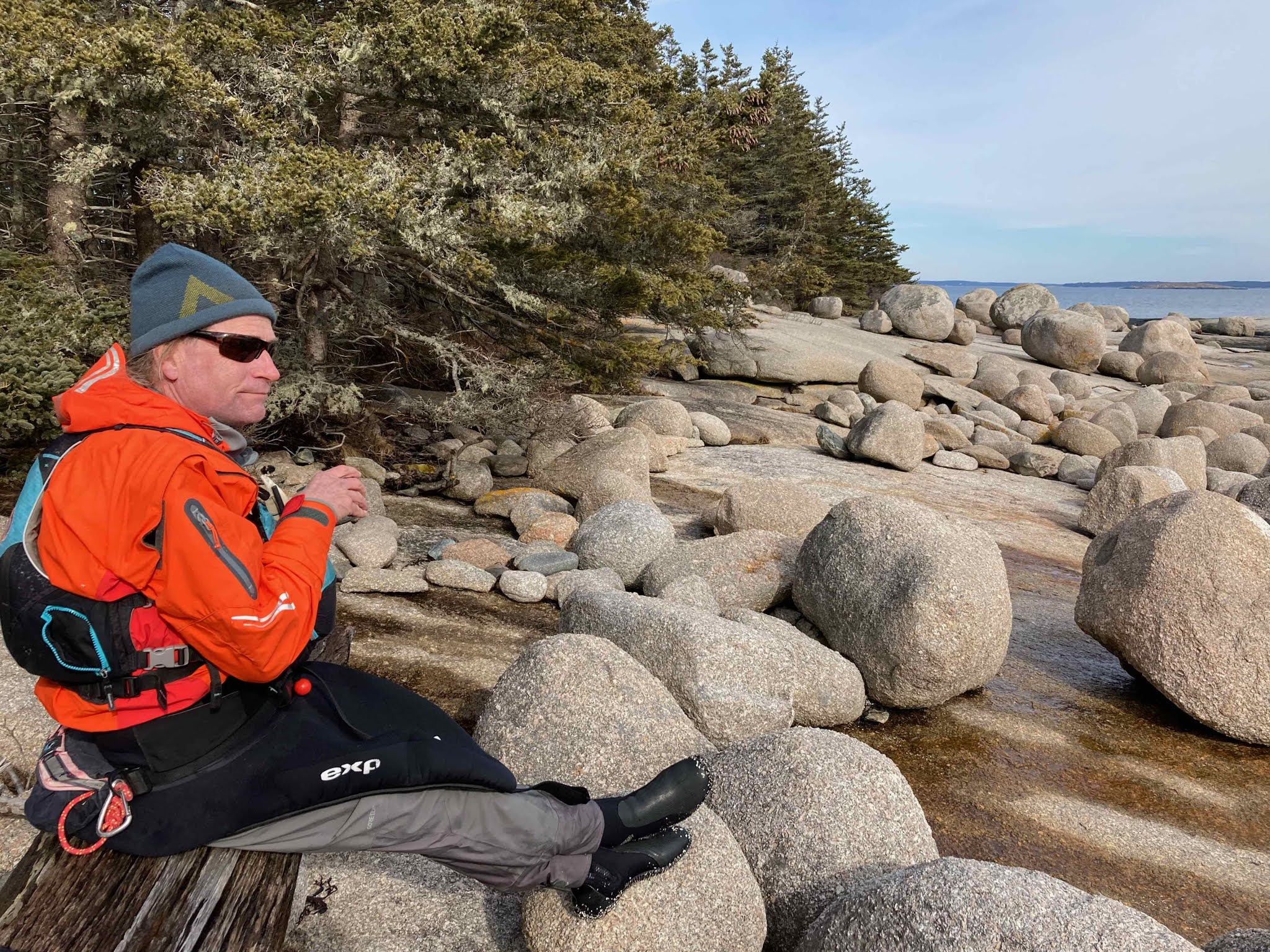
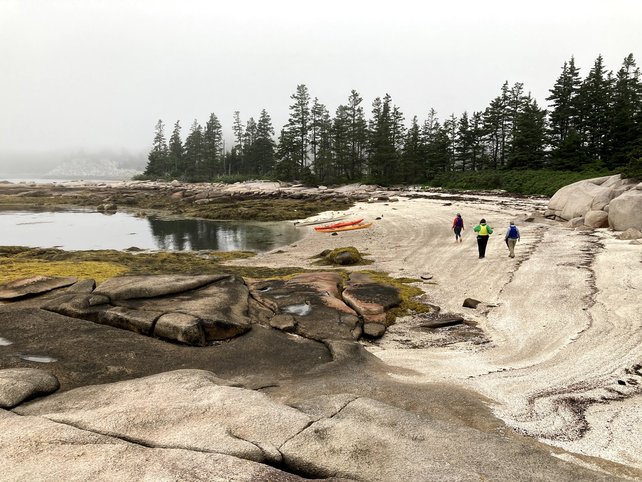
On the last Saturday of my guiding season, we met again at Baileys Mistake, joined by Todd (see trip #1 above) who’d been guiding with us over the summer. The day couldn’t have been much nicer. There was a bit of an east wind, and it did happen to be during an auspiciously big tide range (max flood in Grand Manan Channel approaching 4 knots) but it felt almost warm enough to skip the dry suit (but not quite). After paddling into the chasm on Boot Head, we stopped for lunch at Boot Cove, where a few hikers eyed our kayaks curiously (the Boot Head Preserve is owned by Maine Coast Heritage Trust and has nice hiking paths leading out to the cliffs, now somewhat ubiquitous on Instagram).
After lunch we continued, but as a couple of us headed along shore, continuing to find features to weave among, the others took the more direct route a little offshore, chatting with each other. Perhaps they’d had enough of all these details, or perhaps they had much to chat about – who knows? But though their route was more direct, and I was dilly-dallying among the rocks, I got a little ahead of them. I took this as a sign that the eddy was starting to increase – win-win: you get to dilly-dally along shore, and get moved along with a little help from the tidal current. Far offshore, the tall navigation buoys leaned heavily toward the southwest – current that would have been against us. So as we went around each new corner, I headed in toward shore. Though these rocks along this stretch are not tall and imposing like those at Boot Head, there’s plenty here to explore. There’s a few houses here and there, and you pass the shore of one more preserve – Hamilton Cove Preserve – before you reach Carrying Place Cove, where the shore again turns steeper along West Quoddy Head.

We got our obligatory group selfies in front of the lighthouse and then hugged the shore (more tall rocky passages to weave among) and then curved in westward to avoid the current against us in Lubec Channel. This was another test of faith in theories about tidal currents. Some wanted to head straight across and stayed far to the east of the group, paddling against more current than those veering westward. You could paddle a little farther with less current against you or paddle on a treadmill that looked more direct. Or at least that’s how it looked from my perspective, and by this point as a guide, I felt inclined to let people figure it out for themselves if they didn’t want to follow me or test my theories about it.
The current beneath the bridge was largely diminished by the time we passed beneath. We made our way around the breakwater to the take-out.