A day earlier, Todd had done the same, but faced a fierce headwind and confused swells- remnants of Hurricane Earl, which had lost steam as it hit the cold water of the Gulf of Maine. Fortunately for me, I faced minor wind, brilliant blue skies and a low, pleasant swell as I crossed. Far off, a few lobster boats circled as they hauled traps.
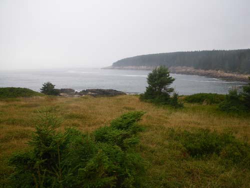
 Burnt Island
This would be the first of four days out in our kayaks- possibly longer for Todd. Our itinerary was flexible, subject to the weather and our whims. Half-way across the bay, I paused. To the south, Brimstone Island rose from the horizon. To the north lay the archipelago spread out between North Haven and Little Deer Isle. As I came nearer to North Haven, the current increased, pushing me south. On the other hand, the forecast called for increased winds from the southwest, pushing us north.
 Colt Head Island
 The campsite on Pond Island
Since it was one of the highest tides of the month, we weren’t quite sure how high it would go. And on the other side of the dune, the high tide would be augmented by wind and waves. We pulled the boats up as high as we could, took the tents down, and waited for high tide. Bioluminesence lit the water like clouds of tiny fireflies. Over on the mainland, we recognized familiar landmarks like Caterpillar Hill, lit now and then by headlights passing over its ridge. The water rose until we had maybe three or four feet of sand between it and the beach roses. We marked its progress with sticks, until finally, it began to recede. Then, we stretched out as well as we could in our sleeping bags- no room for the tents- and slept beneath the stars.
Later, when it began to lightly rain and the water had receded, we put the tents back up, leaving glowing footprints in the sand.
2 comments:
I've take to calling this area "The Great Spruce Head Archipelago," for lack of a better name. I've nicked the edges of it in past summers, but this year paddled all through it on a couple of occasions, launching from Little Deer Isle.
It's a lovely area, and quite different than the Stonington island cluster - less granite, bigger islands, more beaches.
Love your blog
"Great Spruce Head Archipelago" works. I'd like to get over there more often.
Thanks for reading,
Michael
Post a Comment